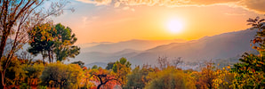
Alpujarra walks
Number Nine: La Salud
|
|
A fabulous day that starts out with a leisurely drive around the mountains to Yegen. The hike goes up passing ancient trees and streams, interspersed with expansive views south. Walking the “Path of Health” can only be a good thing! It’s not long, just interesting and satisfying.
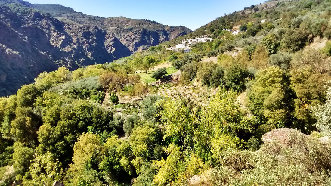 Yegen in Las Alpujarras, eastern Granada
La Salud circular walk
Duration: 1 hour 30 minutes
Difficulty: Easy, even though ascending or descending much of the time. You start and finish at 1,075 m and the highest point is 1,325 m: an ascent/descent of only 250 metres.
Both the drive from Capileira to Yegen, and the walk there that we propose, take a very enjoyable 1 hr 30 mins. The way is marked with white-and-yellow stripes , as well as white arrows at crucial points, but let this written itinerary be your main guide.
|
Some people would be quite happy just to do the drive to Yegen, in the eastern reaches of the Granadan Alpujarra.
The views are a pleasure in their own right along the winding and well-maintained mountain road that joins the villages of the high sierra.* 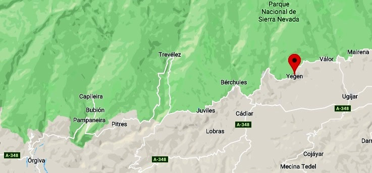

|
*It was different story a hundred years ago, when Englishman and writer-to-be Gerald Brenan arrived to establish himself in remote little Yegen, with nothing more than 2,000 books and a desire to educate himself far from any madding crowd. Yegen back then had only dirt roads in and out. A romantic but delicate Virginia Woolf, who visited Brenan in 1923, had to trek a long way there on mule back. Brenan would walk great distances, on more than one occasion as far as the coast.
Gerald Brenan’s “South from Granada” is a unique introduction to Spain a hundred years ago, when it was still significantly rural, and portrays the culture of the country with the fair and thoughtful insights of someone who lived there for 14 years. A plaque on the village house where the author lived acknowledges how he made Yegen and the Alpujarras better known to the outside world. 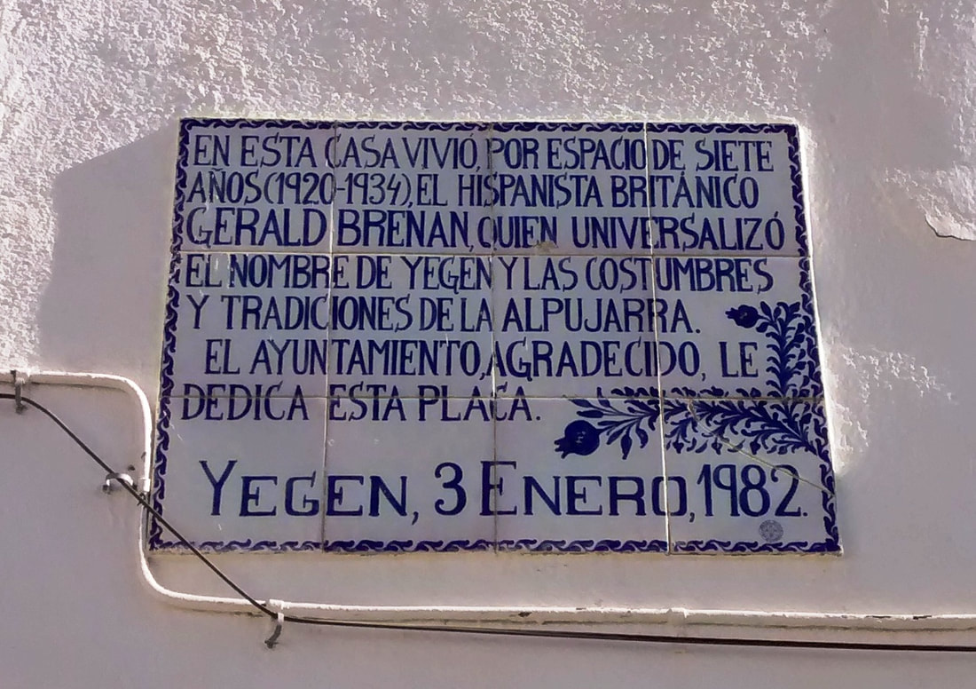
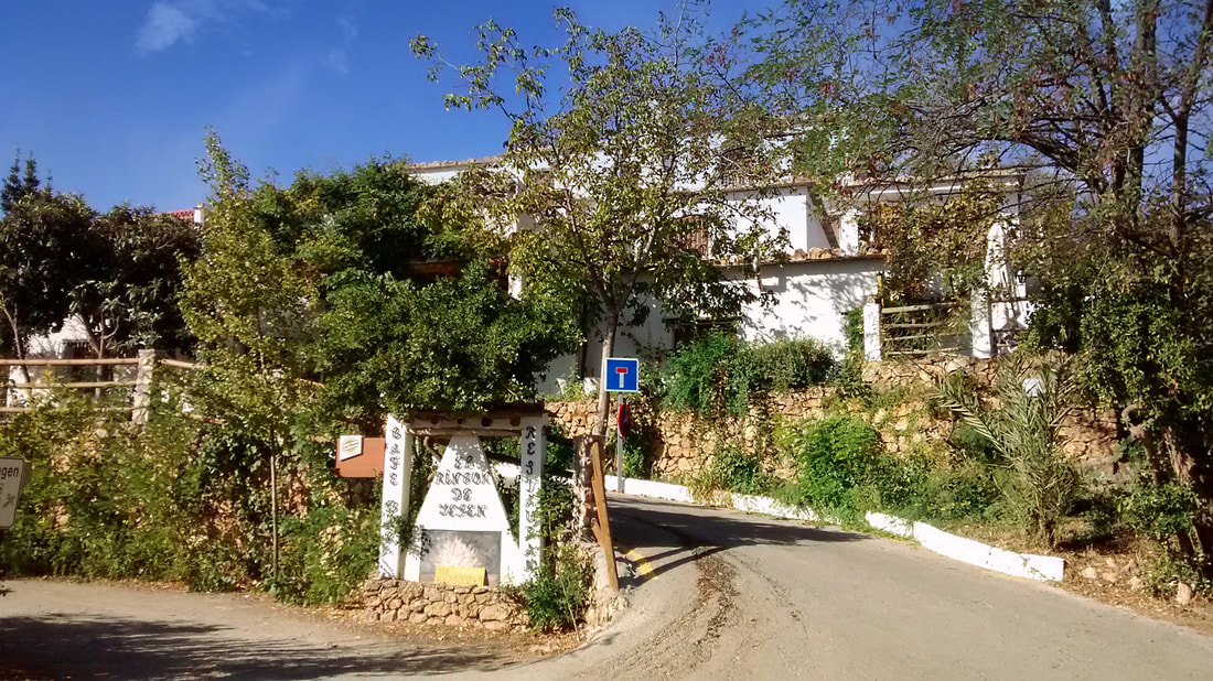
Bar-Restaurante El Rincón de Yegen
|
If you fancy drinks or a meal afterwards, then a convenient place to leave your car is at "El Rincón de Yegen" bar-restaurant on the mountain road, and our itinerary starts here.
|
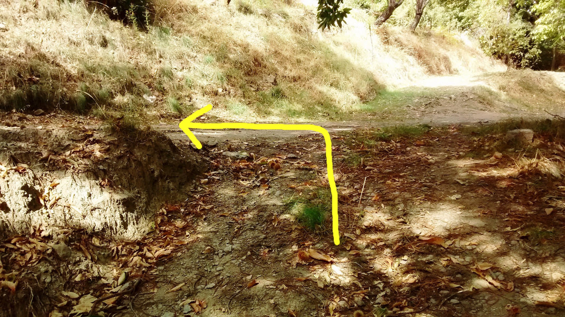
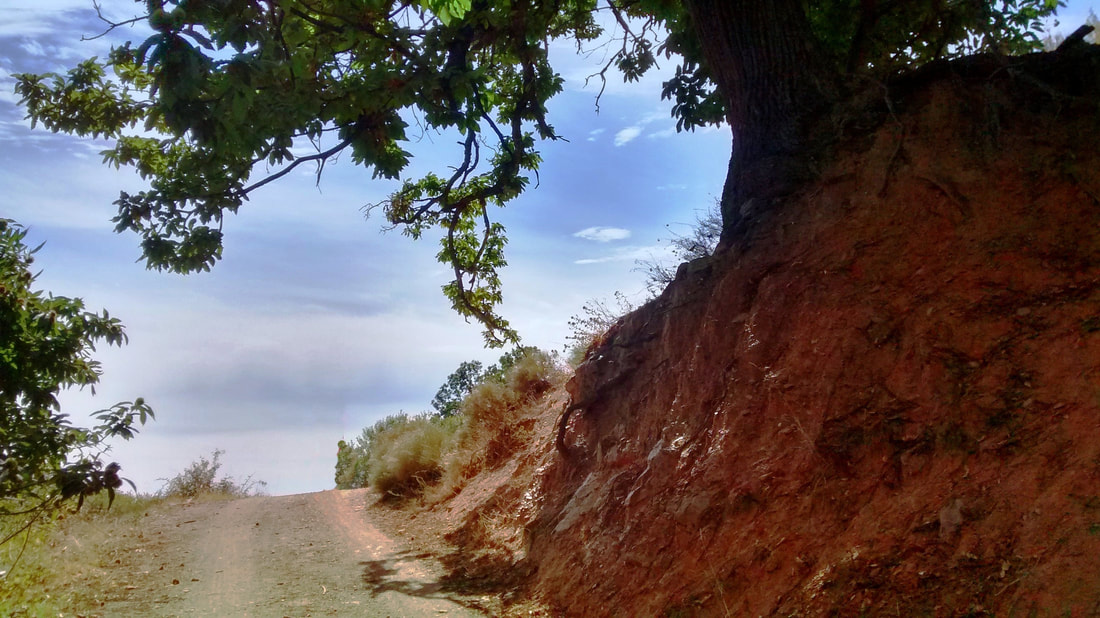
Walk up the road from El Rincón de Yegen a short distance (in the direction of Válor), leaving the village and passing over a bridge to cross Barranco de las Eras and then Barranco Zahón. Directly after Barranco Zahón, leave the road by taking a path up to the left. |
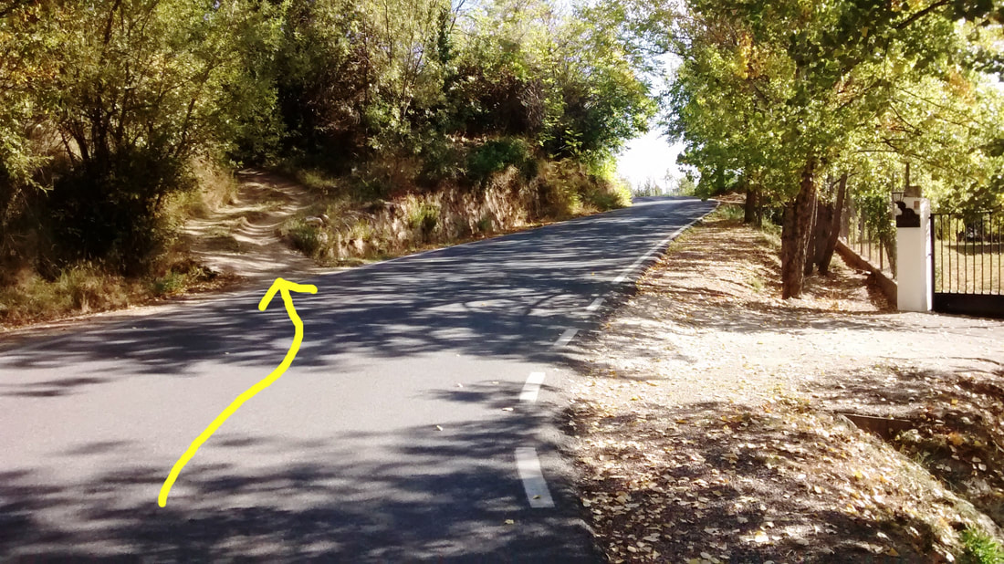
Directly after crossing Barranco Zahón, turn up the path to the left
|
|
You are soon presented with a view out east:
View from the path
|
When the path comes to a sandy track, turn right and left in quick succession to rejoin the path upwards.
At the track, turn right and then soon left to continue up the path
|
The path climbs up and you come to a well-kept cortijo, pretty in pink, where the path turns left over an acequia.
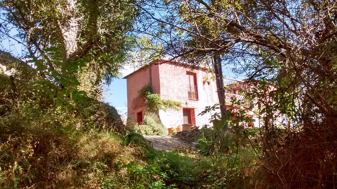
The path turns left just before the pink cortijo
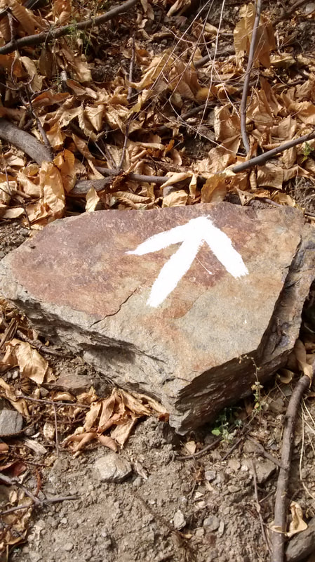
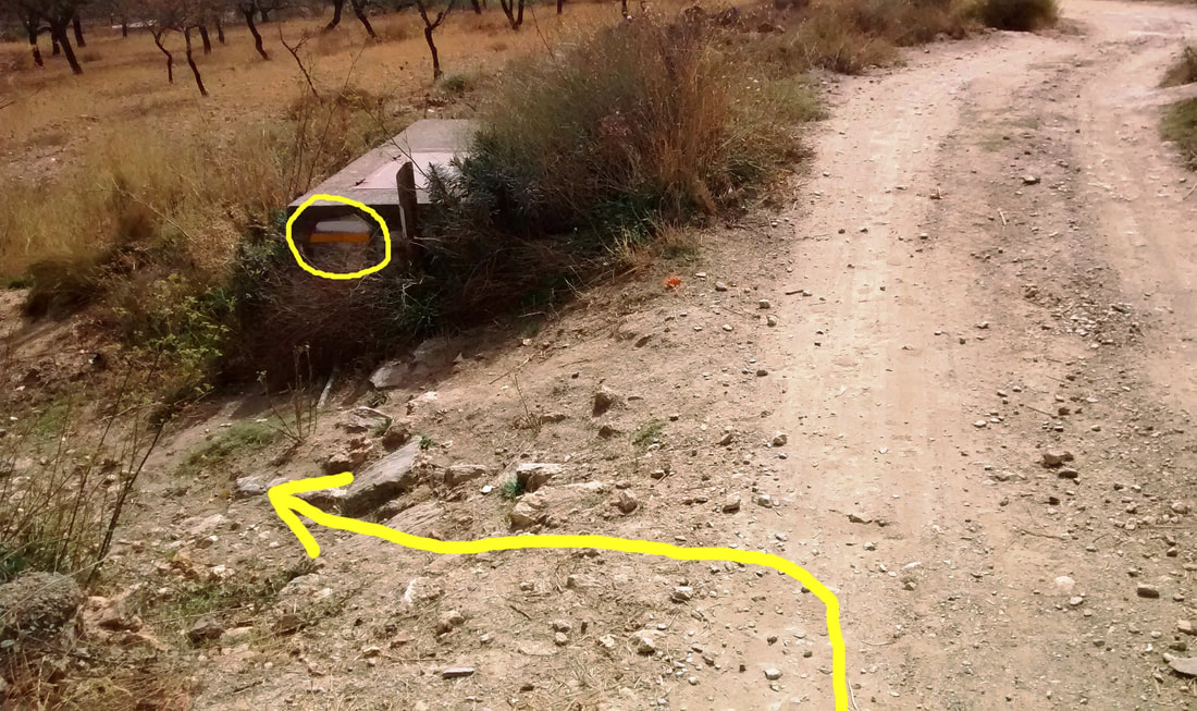
When the path is traversed by another track, cross it to continue upwards as indicated by a white arrow.
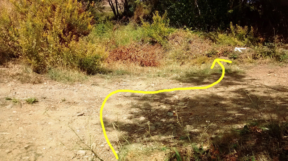
Cross this track: follow the white arrow to take the path upwards
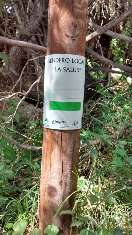
La Salud (Health) is this walk's name. But note: white & yellow marks are more reliable than white & green.
|
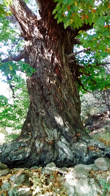
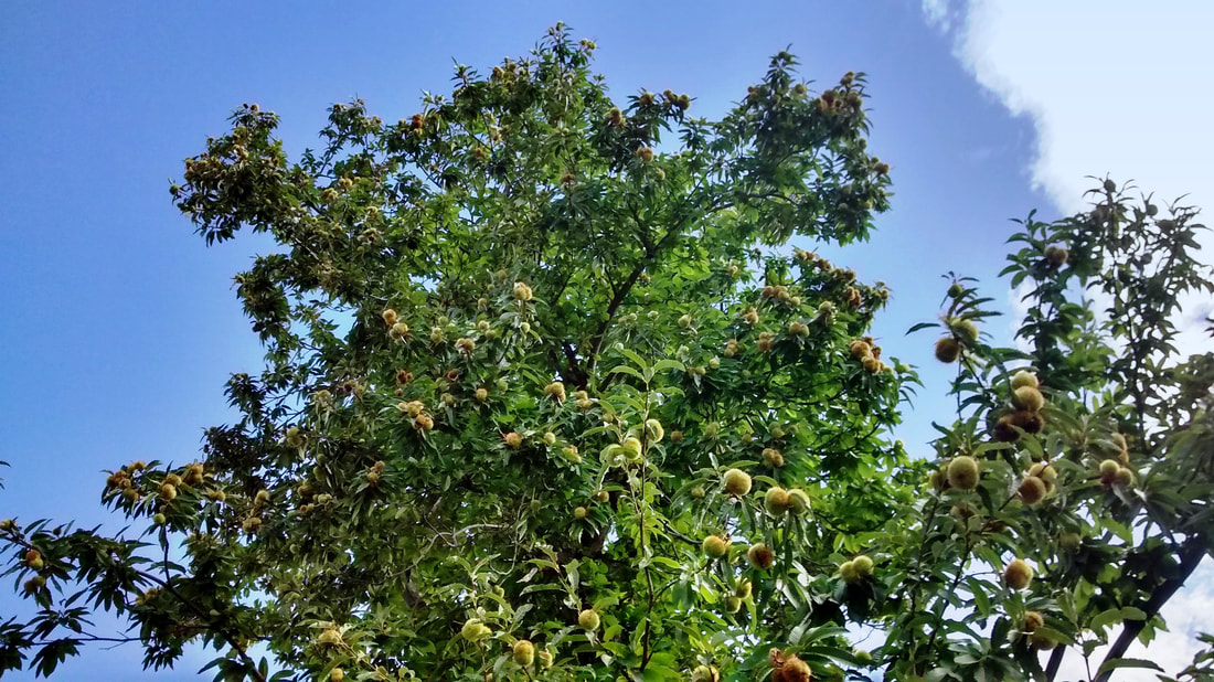
Massive chestnut: the kings & queens of these parts
|
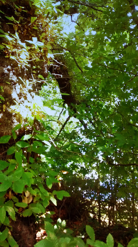
It's a leafy walk giving welcome shade when the sun is hot
|
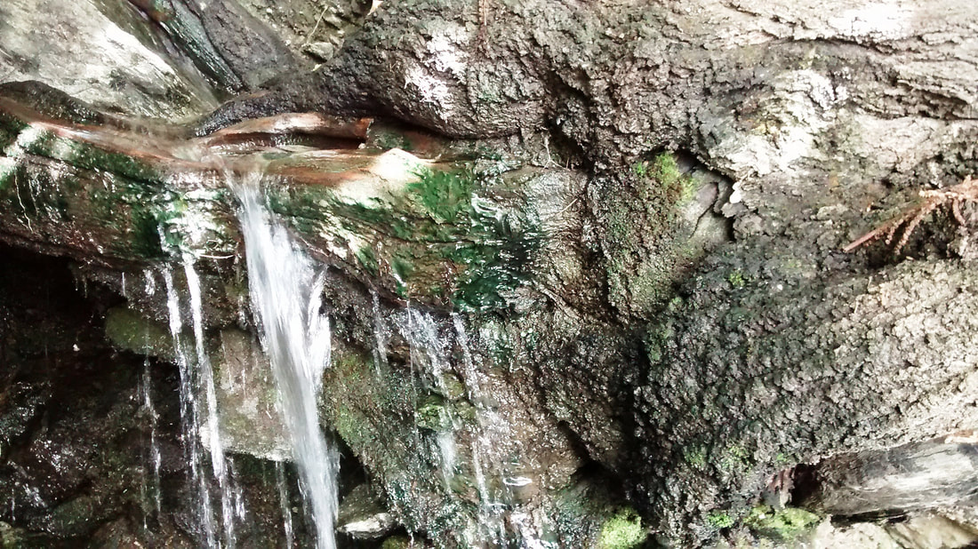
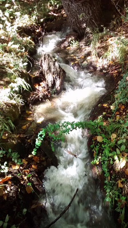
Now you come to the highlight of this walk: the most venerable of old chestnut trees, truly the sovereigns of these parts. It feels a privilege to meet these huge beings. In autumn, they verily press their brances into your face, saying: ""Have some chestnuts! Have some chestnuts!" At one, a thick root forms a natural shelf for a stream to cascade over. “Health” our trail is called and inwardly this feels like the place that gives the name.
|
|
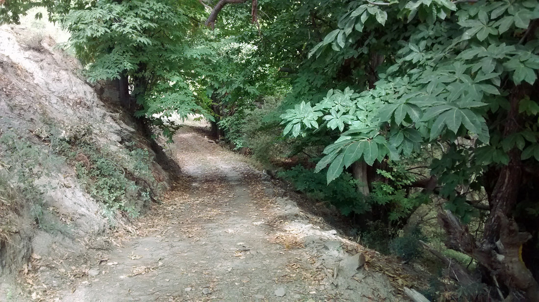
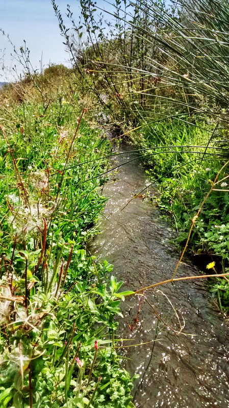
Follow the path along a stream for a while as it skirts beneath more sweet chestnuts.
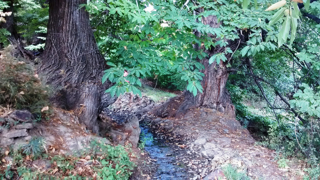
The path continues along a stream beneath chestnuts
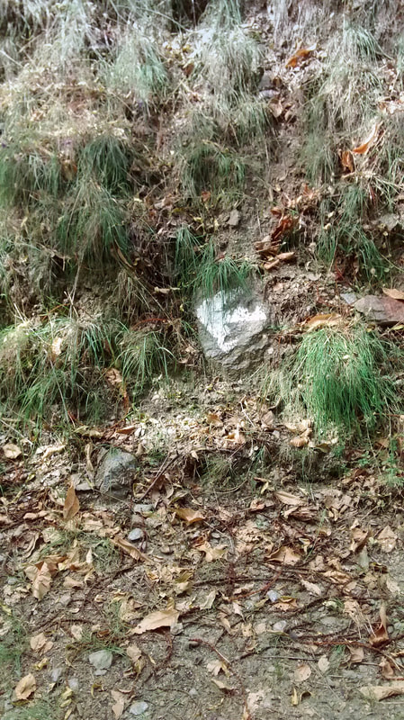
At a hollow tree, the path turns left to cross the stream. A rock on the far side is painted with another white arrow.
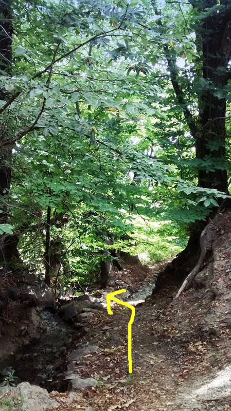
Turn left and cross the stream...
|
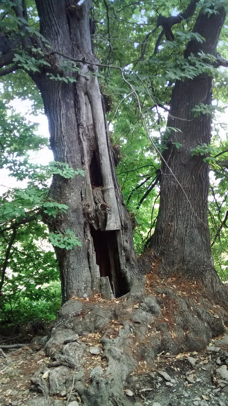
...opposite a hollow chestnut. Look for the...
|
...white arrow on the other side of the stream
|
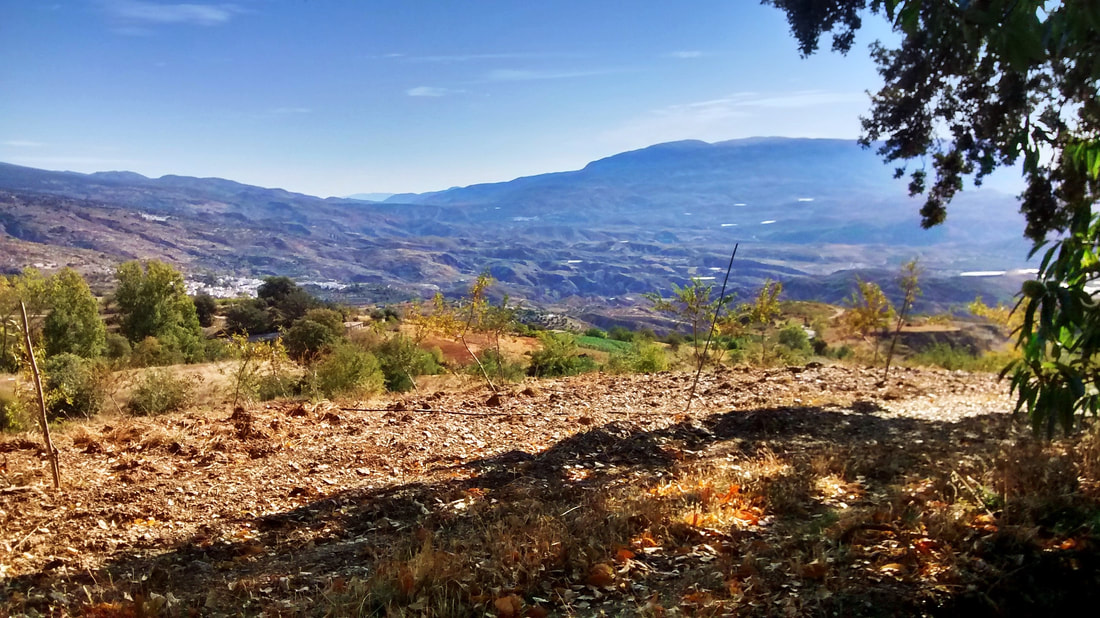
The next important point comes when the path comes to the end of a wide track. You now take this track onwards. When we reached this point, the way forward was masked by a fallen branch from one of the giant chestnuts, which will probably have been cleared by now. Looking south from this height, the view stretches far and wide and all the way to the Mediterranean Sea.
A wide track begins and you follow it
|
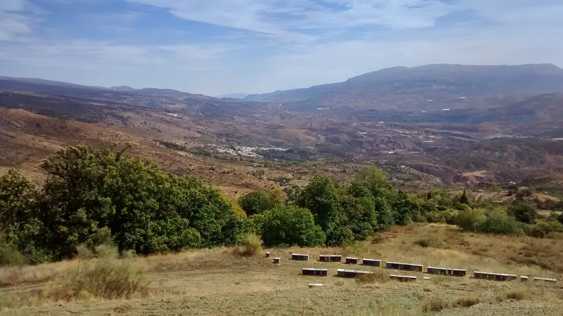
Near the beginning of the track is a big view south down to the Mediterranean Sea. In the foreground are beehives for making dark chestnut honey.
|
Walk this track until it leads up and emerges at another, where you turn left. Again, on the other side is a stone painted with a white arrow, pointing left.
Turn left on the track. Note the white arrow on the far side.
White arrow left at the track
|
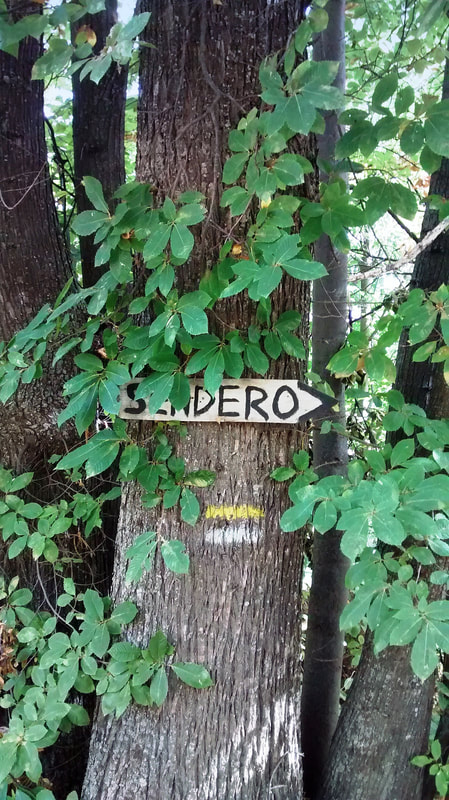
If you turn around as you come to the track, you see a "sendero" sign pointing the way for walkers going in the opposite direction
|
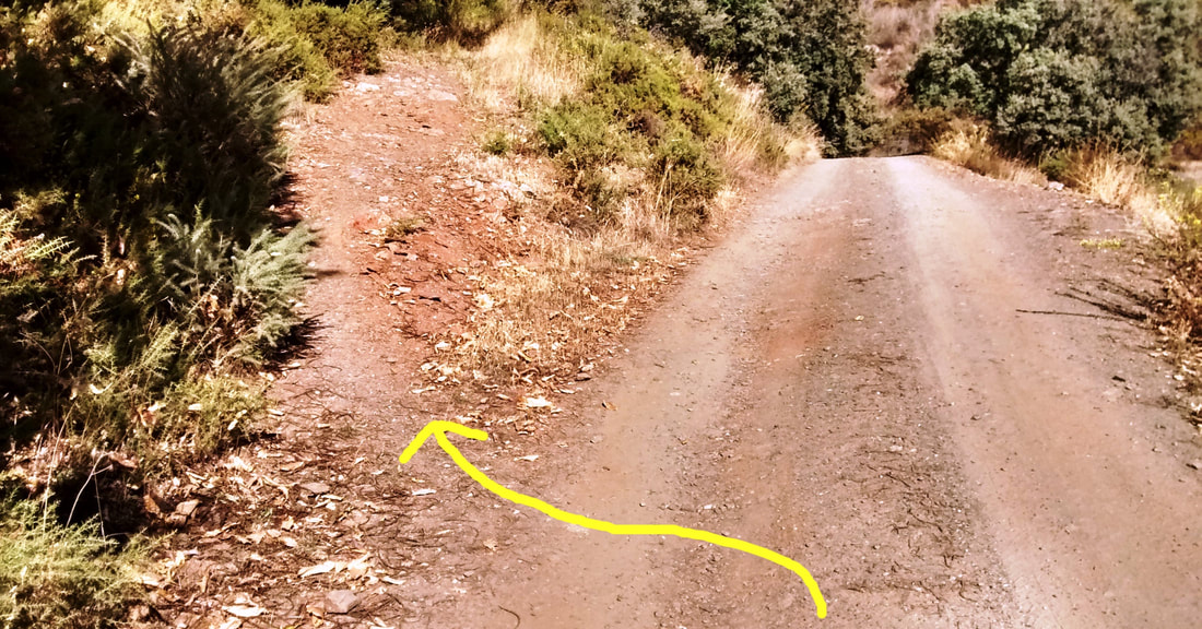
Salmon-pink earth!
This is as high as you go.
The broad track you now walk is more or less level, following the hillside contour and crossing streams. Note the extraordinary colour of the pink earth into which the chestnut has sunk its roots. |
|
When you come to a distinctly ugly cortijo on the right with a concrete lump in its vine-covered courtyard, turn left down a mule path. It is marked white and yellow.
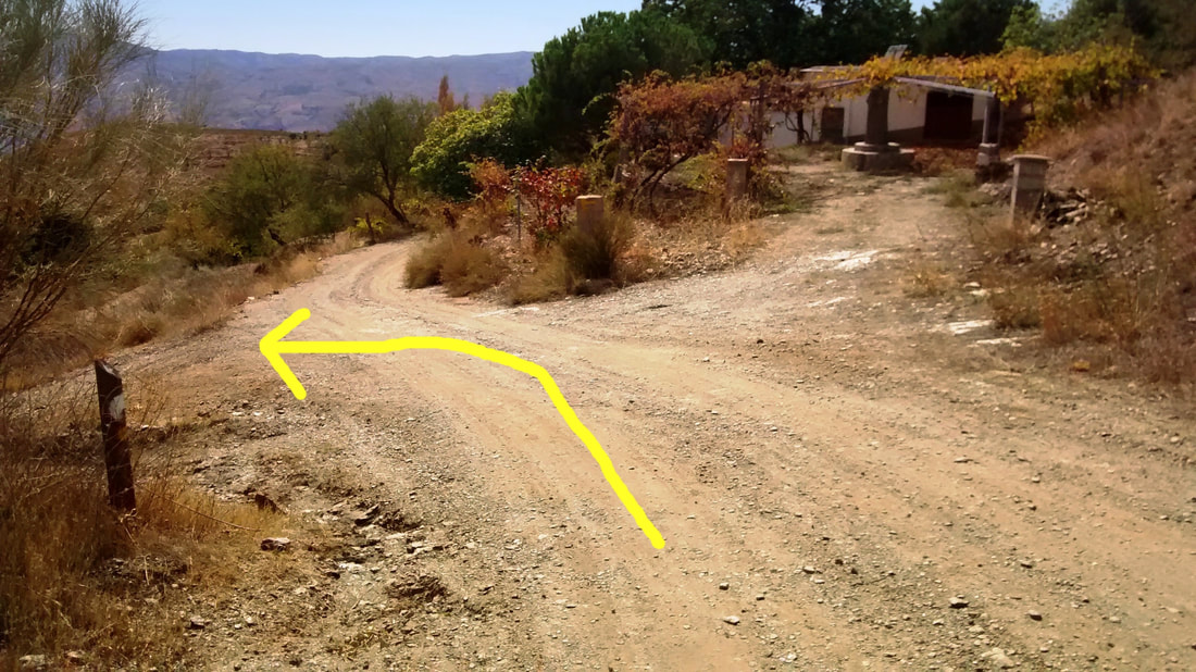
When you reach the unpretty cortijo, turn left down the muletrack
|
There are white and yellow stripes indicating the way
|
It’s downhill from here and you can’t go wrong, although reassuring white and yellow markings are there to confirm you’re on the right path. You walk a long, manmade rock wall and over knobbly pink limestone, before the path gives way to concrete, and concrete to the tarmac of the Yegen road.

|
|
Turn left to return to the starting point and refreshments at El Rincón de Yegen. It’s not the only hostelry in town: there’s also Mesón Ceci, also on the main road, and Pensión La Fuente near Brenan’s house in the village.
The route is not a long one, but interesting for its quick rise, leafiness, royal sweet chestnuts, streams and changes in view. It was so tranquil, we didn’t see another soul. A satisfying outing to somewhere deeper into the Alpujarras.
Enjoy the motor back from Yegen through Mecina Bombarón, continuing via Bérchules and Trevélez, unless you take a left turn for Órgiva and the lower Alpujarra.
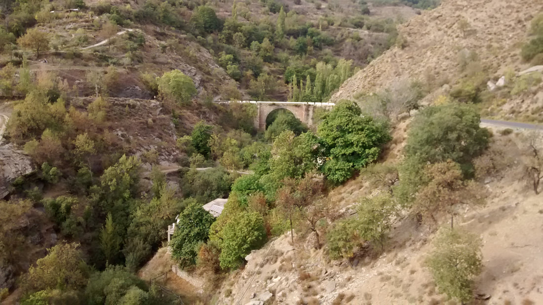
Road bridge between Yegen & Mecina Bombarón
|
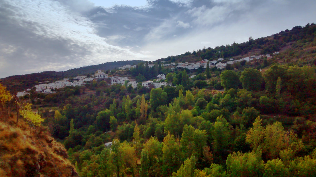
Mecina Bombarón
|
Back to: Alpujarra Walks
