Alpujarra walks
Number Five: La Escarihuela
|
|
This Tahá valley walk has it all: many-varied views, the terrain changing just when you’re ready for it, an ancient path zigzagging the mountainside, water fountains and good food at the end.
|
La Escarihuela circular walk
Duration: 4½ hrs Difficulty: Medium We start where we mean to finish up: Mecina and a choice of bar-restaurants. We prefer this anti-clockwise itinerary, which not only opens up better views as you go along but offers a gentle and delightful end to the walk. But if you don’t mind the final part of your hike to be the hardest and the view more closed in, by all means do the route in reverse and clockwise. |
Three neighbouring Tahá Valley hamlets, very pretty, very peaceful, lead into this walk.
From Mecina, stroll down the road to Mecinilla entering the village by going straight on. Take the first right, pass by a drinking fountain, go left at the end of the street and head down and out of the village by a path.
The path emerges onto the road joining Mecinilla with Fondales. Turn right and immediately left to continue down the path to Fondales, where you go through the little car park and pass by another fountain on your left before continuing all the way down the village until the last street becomes a path.
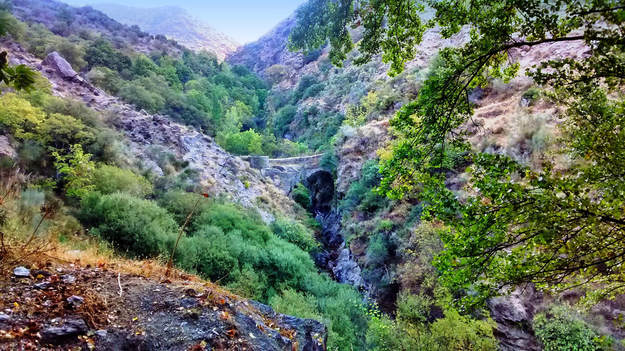
Follow the path down. Before long, the “Roman” bridge comes into view. It's not really Roman, but who cares? The drop from it would surely make a centurion gulp.
|
Walk over the old bridge to cross the River Trevélez and start up the stony path.
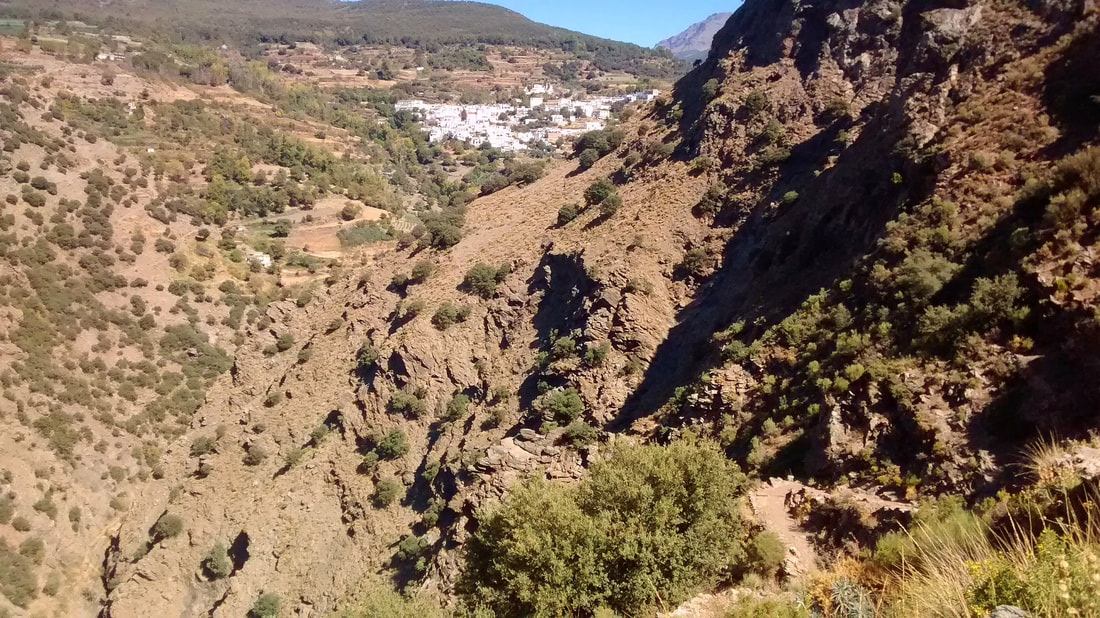
You have glimpses of the villages that you are leaving behind and a view of the tree-populated river gorge. As you go up, the landscape is of rocky escarpments. Ibex live up here and you might see a family hopping up or down the mountainside. |
|
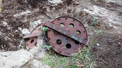
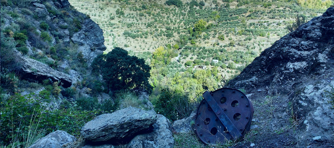
Keep a keen eye and by the wayside you’ll spot a broken cable and a pulley wheel, remnants of a time when iron-rich rocks from Las Minas del Conjuro (Mines of the Oath) were carried by cable car all the way across the mountainside to a site 18 km away where they could be loaded onto trucks and transported down to the port at Motril.
Look at the abrupt terrain and imagine the wagons passing overhead: what a tremendous feat of engineering! |
Las Minas del Conjuro (Mines of the Oath) were conceived as a project in 1872 and worked for iron ore with increasing success until the 1960s, when yields decreased. The remote mountainous site beyond Trevélez in Granada presented a major challenge to engineers. A governmental plan for a rail link between Malaga and Almeria, passing close to the mines, was eventually abandoned when the formidable topography proved it unviable, and in the end it was an ambitious system of aerial cable cars that would provide the means of transporting the iron-rich rock.
In 1957, the first 27 thousand tons of ore were carried by cable car over the steep, massive gorges of the Alpujarra for an astonishing 18-kilometre haul as far as Rules (today a reservoir) to be loaded onto trucks and taken to the port of Motril just20 km away. Yet the exploit was short-lived. At the height of production, there were over a quarter of a million tons a year passing through the sky, but it was along kilometres of increasingly precarious infrastructure and high winds were swinging cars right off their cables. With the iron seam becoming rapidly depleted, the operation ceased in 1964 and the cable car links dismantled.
Today, Las Minas del Conjuro are in private hands and open mining continues for the extraction of building aggregates which are transported by road. A few, discarded relics of the enterprise remain. Hikers on the mountain trail of La Escarihuela de Ferreirola, who spot a rusty pulley wheel or a broken cable along the way, may stop to wonder at the manmade phenomenon which once spanned the precipitous gorges of this wild, natural terrain.
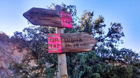
Continue up, passing a large square corral for farm animals. Approximately an hour and a half after setting out, the path widens and you come to a signpost. We turn left for Mecina Fondales (via the Escarihuela).
|
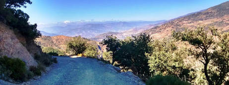
After the climb, the path is broad and softer underfoot and the gradient easier. Now comes mountain woodland, fir and pine cohabiting happily to provide a habitat for birds and a peaceful, shady atmosphere.
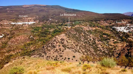
Further along, lower-standing scrub oak takes over. The going remains easy for a goodly distance and the track gives a clear view of all the Tahá villages and Portugós. Directly opposite at one point you will have a clear view of the Mezquita on its promontory. |
La Mezquita de Busquístar, known locally as simply La Mezquita, is the name given to a promontory near the village and the ruins atop it. During the latter days of Islamic Al-Andalus, there may well have been a “little mosque” here, although no mention is made in archaeological records until the 19th century, when a Spanish historian referred to the walls of a mosque of 30 yards by 5½ on the site.
Before that time, evidence points to a little settlement here by Mozarabs, Iberian Christians living under Muslim rule, between the 8th and 14th centuries. The principal feature of the site is the way its panoramic view dominates the valley below. It would have been the perfect look-out point for controlling the approaches to the Tahá de Ferreira, erstwhile capital of the area.
Google map reference 36.931308, -3.303114
|
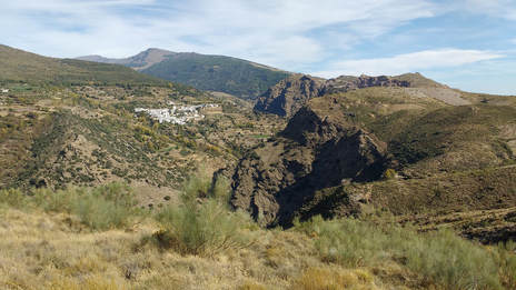
Rocky outcrops stand out and you receive a full-on vision of Busquístar village, past which the river gorge snakes on its way to Trevélez. Filtered sunlight on the mountain in the far distance has a unique effect suggestive of a computer-generated image or an illustration in a graphic novel. It doesn't come out in the photo, but you'll see it and understand when you're there. |
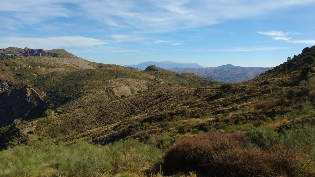
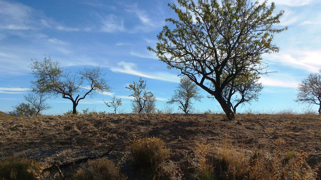
Turn a corner and, like an exhalation of breath, the view changes completely: opening broad and far to the Contraviesa mountain range. And just as you are getting used to a new-looking world, it changes again, and you’re looking at vertical expanses of dark vertiginous rockface all the way down to the Trevélez river. Stroll on below high-planted almonds silhouetted against the sky.
Stroll on below high-planted almonds silhouetted against the sky.
Soon you come to La Panjuila, a tiny nucleus of sturdy mountain houses, stark white with green metal doors. Wondering what on earth are they doing here? See the green pop-out box below right.
While still within the ambit of the buildings, double back left at the sign of the little man and down the still-broad track as far as a handsomely kept huerto (market garden). We have seen roses in full bloom here in early autumn.
|
La Panjuila The apparently inexplicable presence of these dwellings becomes more explicable if you tread straight on through the cortijada and onward down the track, upon which you will see that it joins below to the main tarmac road from Trevélez as it winds down to Almegíjar. From here, a vehicle can soon take any one of four options: north to Trevélez; along the quiet-as-you-like narrow road linking barely habited hamlets such as Nieles and Tímar; the main, higher road east to Juviles and Bérchules villages and thence either way out east to Yegen and beyond as far as the Almerian desert if you will, otherwise back round through Cádiar and Torvizcón to Órgiva; or simply use the cross-valley road through Almegíjar as a short cut to Órgiva and from there to Granada or Motril and the coast. |
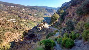
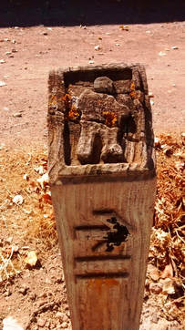
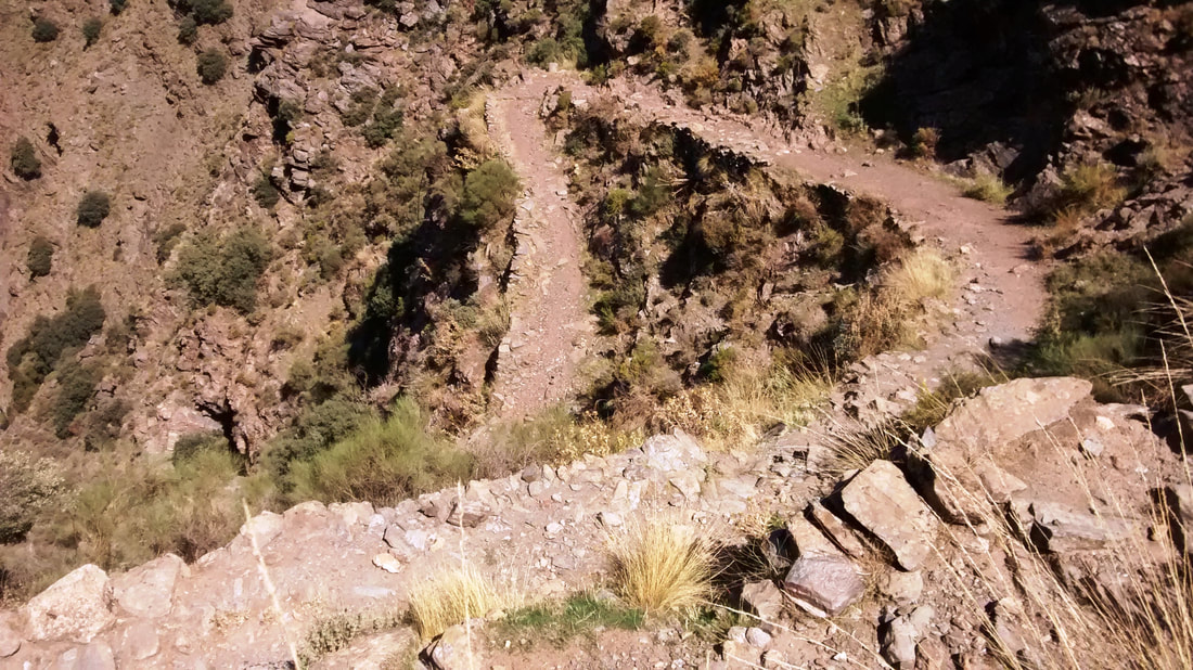
Immediately afterwards, the track narrows and you begin the zigzag descent of the Escarihuela de Ferreirola, an ancient way trodden for centuries by people from villages east and west of the Trevélez divide, with their mules and horses. Pick your own way down the stony path.
Like them, you are going to come to Ferreirola, whose location as the stopper in the bottle of the Tahá made it the de facto capital of the area long ago, before tarmacadam and the high road arrived.
Like them, you are going to come to Ferreirola, whose location as the stopper in the bottle of the Tahá made it the de facto capital of the area long ago, before tarmacadam and the high road arrived.
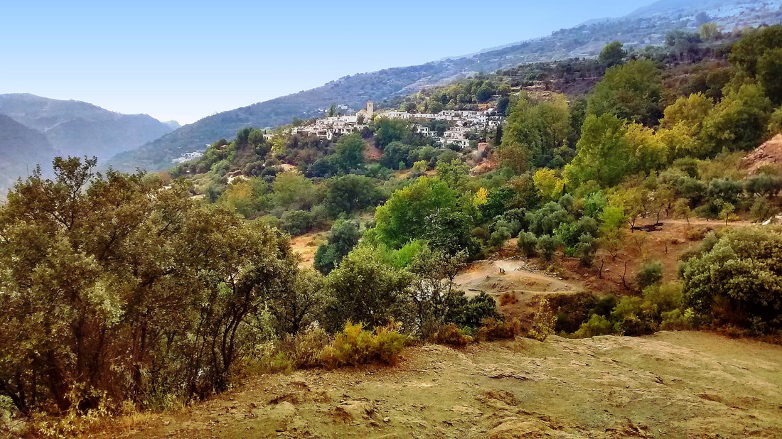
At the foot of the switchbacks, you recross the river over a humble bridge, turning left at the ruined mill. The climb on this side is not hard at all and as you pass beneath the Mezquita, the river valley, thickly populated with trees on this side, comes into view, a sight both gentle and impressive. It’s always encouraging to to have a clear vision of where you’re heading next and Ferreirola already looks pretty and inviting.
The last stretch of the path is not just easy, it's a delight.
The last stretch of the path is not just easy, it's a delight.
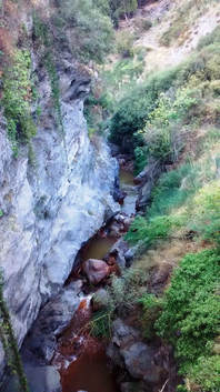
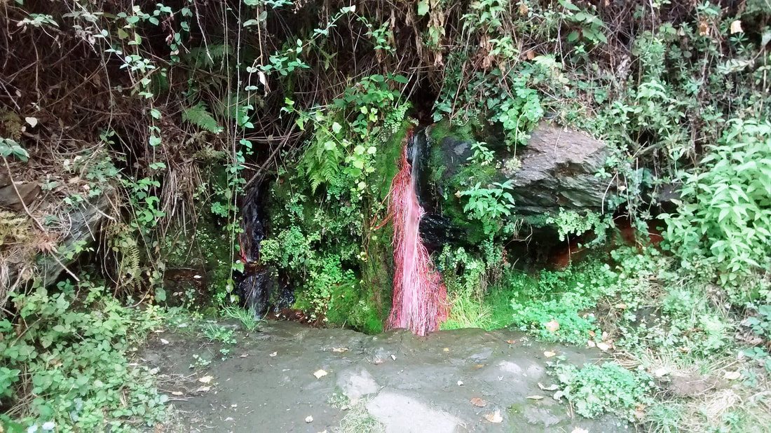
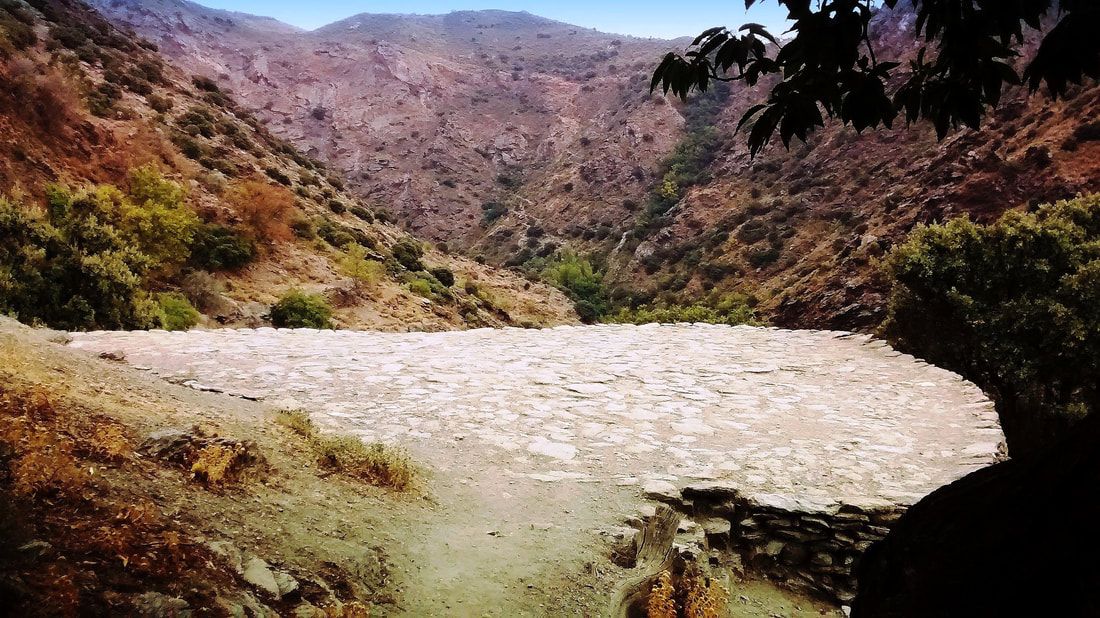
At a broad expanse of rock underfoot, known as the Mirador de la Guarda, don’t turn right [unless you wish to hike further and return via Atalbéitar village along the route described as La Gaseosa]. Walk over the bare rock, which gives one of the best views of Ferreirola, and wander on down the leafy path. You might stop and drink at Fuente Paula, a natural spring that dresses pretty in pink and green, then cross over a stream turned orange from the iron-rich minerals in the rocks, before passing the Era del Trance, a circular threshing ground below an ancient chestnut tree, where classical music quartets have played under the stars to assembled locals.
|
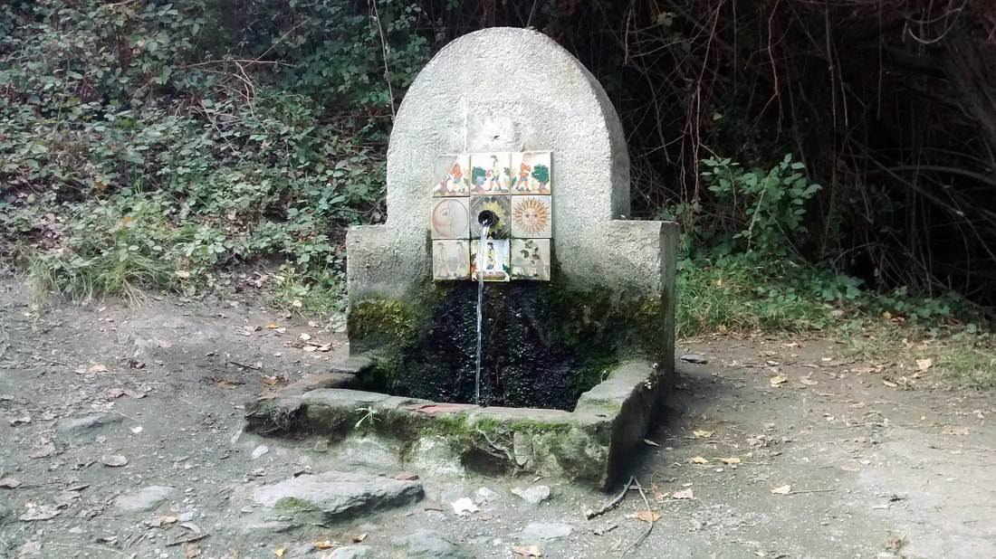
Soon after here comes another fountain. Modest and squat by the wayside, La Gaseosa spouts tasty and uniquely effervescent drinking water. Like the mountains themselves, the water is invigorating, rich in iron.
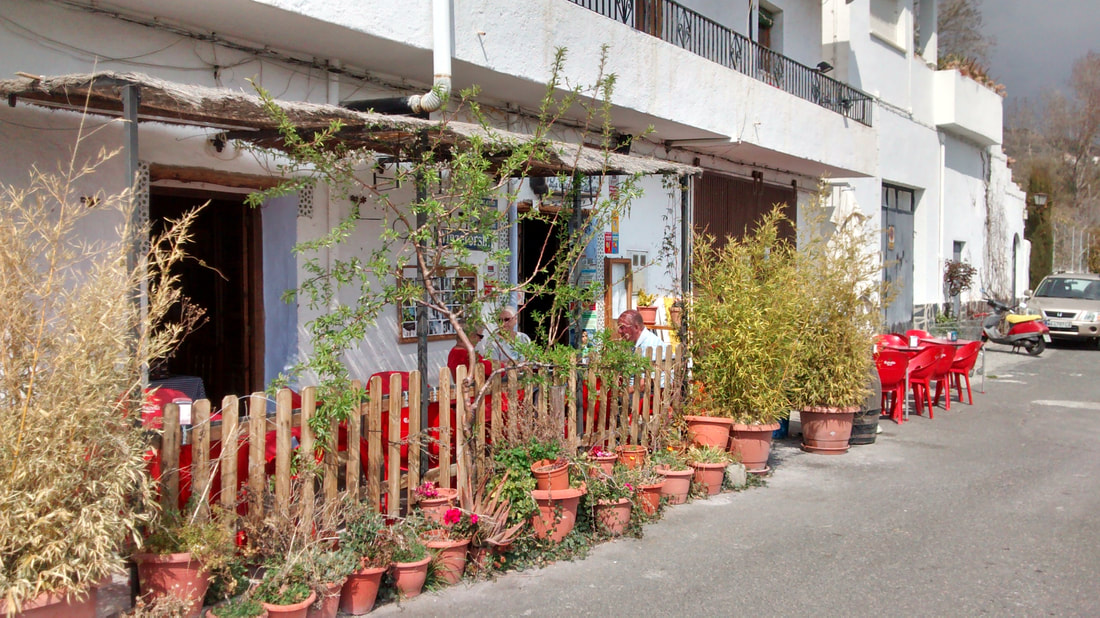
It’s now an easy walk, firm and sandy underfoot, to Ferreirola village with its own gushing fountain, old washhouse and church. The path becomes a very quiet country lane and although your legs will tell you that you’re still pressing uphill a little, you’re soon at the walk’s end, back where you started in Mecina. Here there is one last, simple fountain, although you may be interested in something stronger and the sustenance to be had at one of the three eating places here. |
Back to: Alpujarra Walks
